
August 24th, 2026
Beaufort Sea
Well having successfully navigated through the Northwest Passage, going where many ships before us have failed, we now find ourselves in a roaring storm in the Beaufort Sea.
It’s no coincidence that the Beaufort Scale and Beaufort Sea are named after the same person. The wind today in the Beaufort Sea is scoring high on the Beaufort Scale. It looks just like the North Atlantic in the middle of winter. The sort of weather the Queen Mary 2 is built for. But how will our much smaller expedition vessel cope?
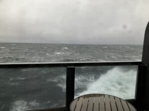
It coped very well. Our balcony window was encrusted with salt water, and there was a bit of rocking and rolling, but I would go as far as saying the amount of movement was disappointing. I love it when you get motion. Well not when the ship is rocking so much you get thrown out of bed, or everything comes crashing down in your cabin, but enough so that you know you are on a ship.
Honestly it feels like we have just been in a land-based hotel so far. There has been so little movement. But today is different. Yay for storms at sea.
The photo from our cabin really doesn’t do justice to showing what the weather was like.
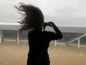
But this photo of one of our trivia team members gives you an idea of the wind.
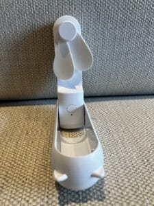
Talking of trivia, our team was much depleted today. Normally there are 10 of us, but there was a lunch wine tasting that 6 of them attended, leaving just 4 of us to do battle without them. We were small but mighty and ended up winning after a tie breaker. No more stuffed animals today we got this neat little fan.
It’s a perfect day to stay indoors and enjoy all of the things going on around the ship.
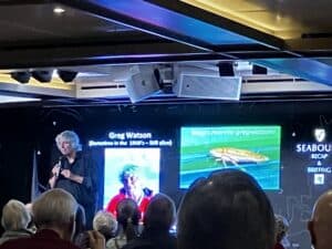
One of the more unusual talks today was from Greg, an Australian member of the expedition team. His claim to fame is that he has a cockroach named after him.
One of the features of this cruise is that you get to go through the Bering Strait. I was obsessed with it at school.
The fact that once upon a time there was a land bridge where the strait now sits is exciting enough, but it was the Diomede Islands within the strait that really piqued my interest.
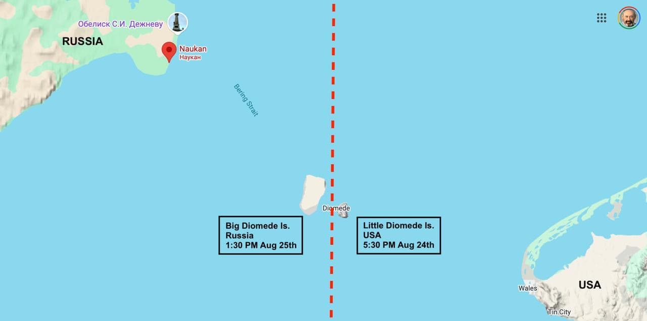
Here are 2 islands, Big Diomede and Little Diomede. Rocky, sparsely inhabited outcrops that nobody would care about except for 2 facts.
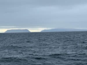
Firstly they are only about two and a half miles apart, but, wait for this, Little Diomede is in the US and Big Diomede is in Russia! That must be our closest border with Russia. It blew my mind – remember I learned this during Cold War days when I thought Russia and the US might invade each other at any moment. With a separation of only two and a half miles, how safe is that?
Mrs Calendar, my geography teacher, just told me not to worry about it, and moved on to the next feature about them.
The International Date line passes between the two islands.
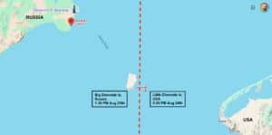
So the US island is in today, and the Russian one in tomorrow. I pointed out to the class that that would mean if anything happened in Russia, we wouldn’t know about it until the next day. Not very reassuring at all. Rolling her eyes, Mrs Calendar moved on to the next topic.
Luckily a year later I did in fact cross the International Dateline on a cruise and my dad was able to explain the whole issue to me in a much clearer manner. But my obsession with the Bering Strait remained.
So here I am 64 years later actually in the Bering Strait, very cool.
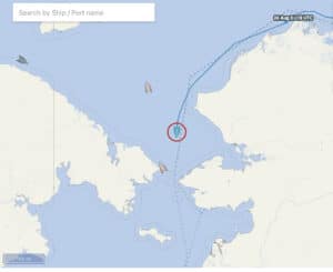
When I had looked on Cruise Mapper this morning to check on our position I had noticed. that our next port of call was listed as Port Clarence. Hmm, I thought we were going to Nome. In his noon announcement captain Simon let us know that there had been a change of plans. After our many miles at sea we will need to refuel. Due to the storm we will have to do this in Port Clarence, and this will delay our arrival in Nome by about 2 hours. The good news is that the US Customs and Immigration folks will come on to the ship in Port Clarence and so we can do our face to face meeting with them while we are refueling so we will be good to go as soon as we arrive in Nome.
I had to check out more about Port Clarence. Port Clarence is the only naturally occurring, deep water port of refuge in the North American Arctic and is approximately 13 miles wide. Of interest it is what is known as a census designated place. According to Wikipedia a census designated place is a concentration of population defined by the United States Census Bureau for statistical purposes only. I am not sure exactly what that means, but the population was 0 at the 2020 census, down from 24 in 2010.
Port Clarence is located on the spit separating Port Clarence Bay from the Bering Strait. I thought we would dock in Port Clarence, but as it turned out we just sat in the bay at anchor waiting for the Immigration people and the fuel to come to us. We sat and waited. And waited, and waited.
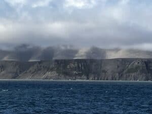
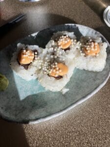
Whilst waiting we sat in the Club enjoying sushi
and Charlie on the guitar.
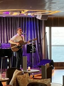
The sea was so rough that both the immigration people and the fuel delivery had difficulty getting to us, so everything was delayed. Finally at 11:00 PM we could do the face to face meeting with Immigration, but when we went to bed at midnight there was still no sign of the refueling ship.
I was thinking that our 8:30 tour in Nome was certainly going to be delayed.
When we had returned to our cabin after dinner there was the certificate that I had done the polar plunge, “Certificate of Bravery”, waiting for me. I got around to reading it before I went to bed. It stated that I had “survived the polar plunge”. Honestly, were they really expecting me not to survive it?

0 Comments